
Stay Updated with Our Latest Blogs
Subscribe to our blog and get the latest insurance tips, guides, and industry updates delivered to your inbox
Subscribe to our blog and get the latest insurance tips, guides, and industry updates delivered to your inbox
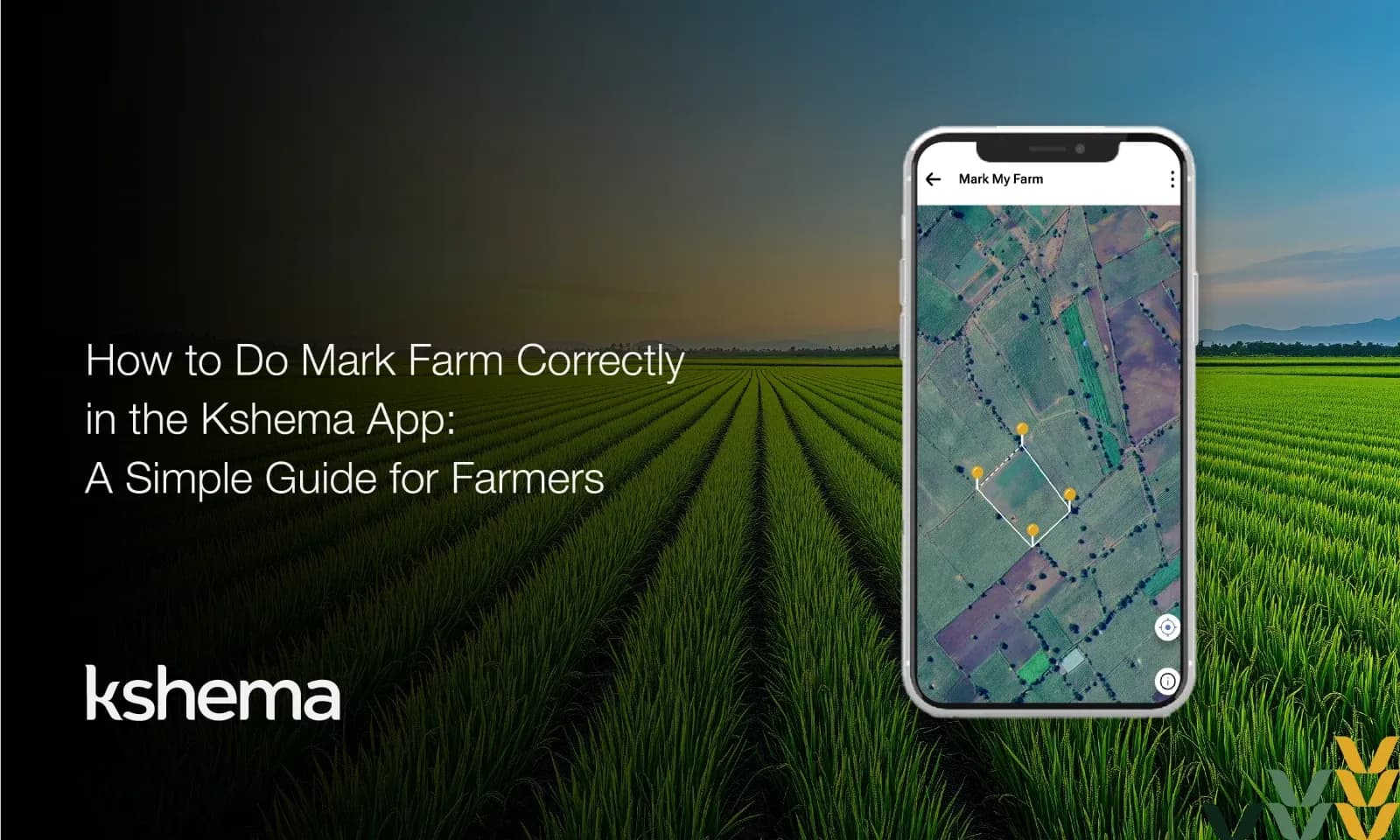
Digital tools are changing farming, and the Kshema App is one such innovation that makes crop insurance simple and accurate. One of the most important features in the app is Mark Farm, which helps you map your land correctly. When your farm is marked properly, your insurance cover becomes accurate and your claims are processed smoothly.
Before you begin, you can also readhow Kshema crop insurance works for better understanding.
Using Mark Farm correctly is not just about ticking boxes—it’s about safeguarding livelihoods.
You can also exploredigital crop insurance for farmers to understand its benefits.
Before you start mapping, see Kshema App features explained to understand how the app works.
Once your farm is marked, you may also want to know how to file a crop insurance claim.
By avoiding these errors, you strengthen your insurance claim and ensure smooth processing.
Learn more about how inspections work through the farm loss assessment process.
When you use Mark Farm crop insurance correctly, the advantages are clear:
In short, accuracy today saves stress tomorrow.
These small steps make a big difference in ensuring your Mark Farm works as intended.
The Kshema App is part of a wider effort to modernise agriculture and make crop insurance more accessible. By focusing on farm mapping for crop insurance, the app reduces paperwork, improves transparency, and ensures farmers receive fair claims.
Correct use of the Mark Farm feature also builds trust between farmers and insurers. When claims are backed by accurate data, disputes are minimised, and payouts are quicker.
By avoiding these errors, you strengthen your insurance claim and ensure smooth processing.
Learn more about how inspections work through the farm loss assessment process.
When you use Mark Farm crop insurance correctly, the advantages are clear:
In short, accuracy today saves stress tomorrow.
These small steps make a big difference in ensuring your Mark Farm works as intended.
The Kshema App is part of a wider effort to modernise agriculture and make crop insurance more accessible. By focusing on farm mapping for crop insurance, the app reduces paperwork, improves transparency, and ensures farmers receive fair claims.
Correct use of the Mark Farm feature also builds trust between farmers and insurers. When claims are backed by accurate data, disputes are minimised, and payouts are quicker.
For more agricultural guidance, visit the https://icar.org.in/.
The Mark Farm function in the Kshema App is a powerful tool for farmers. It eliminates mapping mistakes, improves crop claim accuracy, and ensures reliable farm mapping for crop insurance. By following the steps outlined above, you can protect your crops, secure your income, and embrace the benefits of digital agriculture.
In farming, precision matters. Just as you carefully sow seeds and tend to crops, taking the time to map your farm correctly ensures your hard work is protected. The Kshema App makes this process simple—if you use it wisely.
If you have not installed it yet, Download the Kshema App to start marking your farm.
Mark Farm helps farmers draw their land boundary on the map so insurance coverage, verification, and claims are accurate and dispute‑free.
Yes, you can use your phone’s GPS to detect your village or farm area, then place pins to map the boundary correctly.
You can easily correct it by using the Undo button or dragging the pin to its correct location before submitting.
No, but entering your survey number helps auto‑draw the boundary in many villages, making mapping faster and more accurate.
Correct mapping ensures the right farm area is verified during crop loss assessment, helping farmers get faster and fair claim payouts.
Mark Farm helps farmers draw their land boundary on the map so insurance coverage, verification, and claims are accurate and dispute‑free.
Yes, you can use your phone’s GPS to detect your village or farm area, then place pins to map the boundary correctly.
You can easily correct it by using the Undo button or dragging the pin to its correct location before submitting.
No, but entering your survey number helps auto‑draw the boundary in many villages, making mapping faster and more accurate.
Correct mapping ensures the right farm area is verified during crop loss assessment, helping farmers get faster and fair claim payouts.
We do not assume any liability for any actions undertaken based on the information provided here. The information gathered from various sources and are displayed here for general guidance and does not constitute any professional advice or warranty of any kind.
Crop Insurance